Introduction to Geographical Information Systems for Social Sciences and the Humanities
This course will introduce students to Geographical Information Systems (GIS) fundamentals, focusing on social sciences and humanities applications. Students will learn to use GIS software (ESRI´s ArcGIS Pro and ArcGIS Online) to display, analyze, and communicate spatial information. In particular, this course will present and discuss its potential applications in research and professional settings within the humanities and social sciences, including population data mapping, historical mapping, and territory mapping.
Class Syllabus
You can check the class syllabus here (Spring 2024)
Research Poster Session
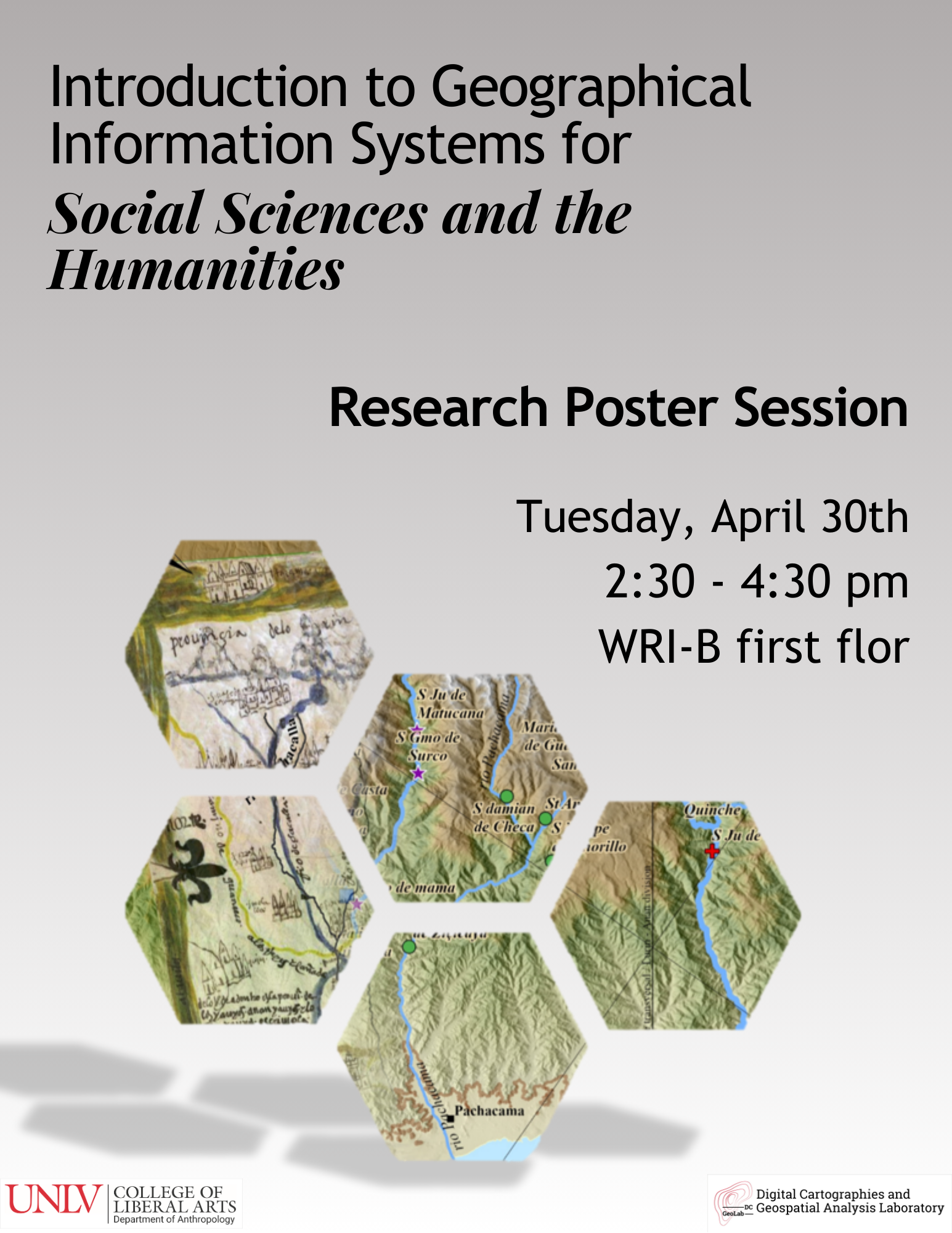
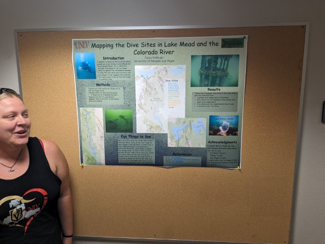
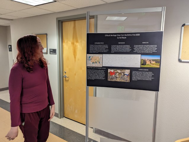
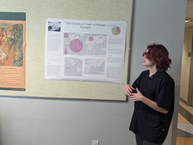
Nine students from the Introduction to Geographical Information Systems for the Social Sciences and the Humanities, at the Anthropology department will present the research they have developed in this class. Students will present diverse research topics, from archaeological research in Tikal, Guatemala, the Indus Valley, and here in NV, to information about NAGPRA collections from the Smithsonian Museum to Scuba diving shops around Lake Mead, and much more.
Date, place and time:
- Tuesday, April 30th 2024 (2:30 – 4:30pm)
- WRI Building B, first floor
Poster session gallery – Spring 2024
Follow the link under each photo to visit each student’s StoryMap