ANTH 407 (Undergraduate) | ANTH 607 (Graduate)
Access to Student Projects: Maps Tell Stories Digital exibition
Maps Tell Stories. Data Reveals Patterns. GIS Unlocks Both.
In this hands-on course, you’ll learn to visualize, analyze, and communicate spatial information using industry-standard geospatial tools. Whether you’re interested in archaeology, history, urban studies, environmental science, or social science research, GIS skills are increasingly essential for competitive careers and meaningful research.
What You’ll Learn
- Master industry-standard software: ArcGIS Pro and ArcGIS Online—tools used by professionals in archaeology, urban planning, environmental management, and research institutions worldwide
- Create compelling visualizations: Design professional maps and interactive story maps that communicate complex spatial data to diverse audiences
- Apply GIS to real-world problems: Use spatial analysis techniques in archaeology, history, ethnography, urban studies, and beyond
- Think critically about spatial data: Evaluate ethical considerations in spatial data collection, representation, and sharing
- Build a portfolio project: Develop a capstone project with professional-level geospatial analysis and storytelling
- Gain competitive skills: Learn tools that employers value across sectors—from research to urban planning to cultural heritage management
Who Should Take This Course
- Anthropology & archaeology students: Advanced research skills for fieldwork, site analysis, and spatial interpretation
- History majors: Historical mapping, spatial analysis of colonial territories, urban development over time
- Geography, urban planning & environmental science students: Landscape analysis, accessibility modeling, spatial visualization
- Latin American studies students: Historical geography of the Andes, indigenous territories, post-colonial spatial analysis
- Digital humanities & public engagement professionals: Interactive storytelling and public-facing geospatial narratives
- Anyone interested in how spatial data shapes understanding of human communities, landscapes, and history
No prior GIS experience required. All software is provided free for the semester.
Course Highlights
✓ Small, discussion-based class – mentorship and collaborative learning
✓ Hands-on practical exercises every class – learn by doing, not just watching
✓ Real research applications – not just theory
✓ Free ArcGIS Pro license provided for the semester (Windows PC required; virtual environment available for Mac/Linux)
✓ Flexible prerequisites – Second-Year Seminar recommended but instructor authorization available
✓ Capstone project – build something you can showcase to employers or graduate programs
Course Details
| Detail | Information |
|---|---|
| Course Code | ANTH 449 (Undergraduate) / ANTH 607 (Graduate) |
| Semester | Spring 2025 |
| Meeting Times | Tuesdays, 2:30 PM – 5:15 PM |
| Location | CHB C129, UNLV Main Campus |
| Units | 3 units |
| Instruction Mode | In-person (supplemental web resources) |
| Instructor | Dr. Gabriela Oré Menéndez |
| Prerequisite | Second-Year Seminar or instructor authorization |
| Capacity | 30 students (27 seats currently available) |
| Status | OPEN |
Meet Your Instructor
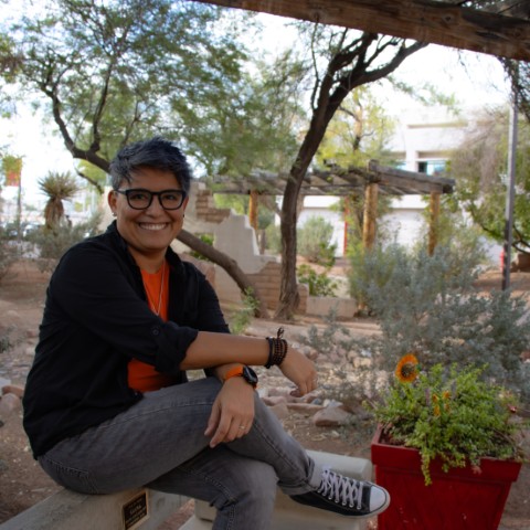
Dr. Gabriela Oré Menéndez (she/her)
Email: gabriela.oremenendez@unlv.edu
Office: WRI-B109
Office Hours: Mondays, 8:30 AM – 11:30 AM (book appointments here)
Office Phone: 702-895-5712
Dr. Oré Menéndez is a Peruvian archaeologist specializing in spatial image analysis and computational methods applied to archaeology. Her research focuses on Peru during the post-Spanish colonial period, approached from decolonial and community-based perspectives. She’s passionate about maps, computational thinking, and helping students discover how spatial tools unlock new ways of understanding human communities and landscapes. She brings both academic rigor and genuine enthusiasm to the classroom.
Your Teaching Assistant
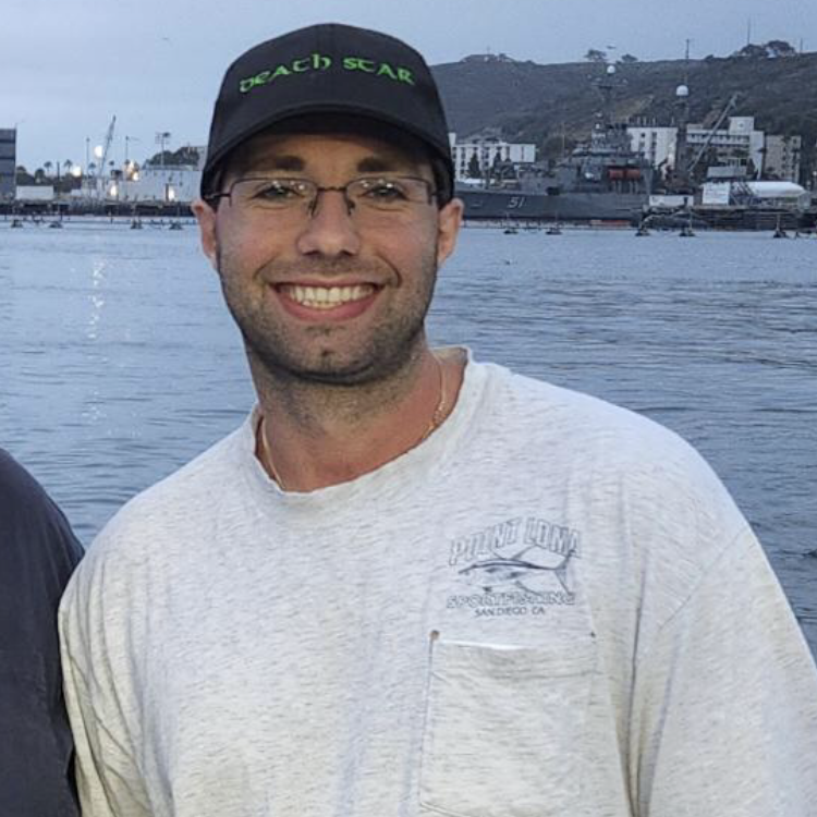
Stephen Uthoff
Email: uthoff@unlv.nevada.edu
Office: TBD
Office Hours: TBD
Stephen is a PhD graduate student specializing in archaeology, with research interests centered on the spatial analysis of human-environment interactions, particularly as applied to maritime archaeology. His current work involves locating and identifying submerged Paleocoastal sites on the California Channel Islands. Stephen’s background in paleoenvironmental reconstruction, modeling maritime mobility, lithic analysis, and landscape archaeology provides a strong foundation for applying spatial analysis and non-destructive methodologies to digital research initiatives.
How to Enroll
Enrollment Requirements:
- Immunization records on file (UNLV requirement)
- Complete Second-Year Seminar (or have instructor authorization)
How to Register: Visit the UNLV Class Search and Registration system. Search for ANTH 449 (undergraduate) or ANTH 607 (graduate).
For questions about prerequisites or enrollment: gabriela.oremenendez@unlv.edu
What’s Included
Software: UNLV provides a one-semester ArcGIS Pro license for use in computer labs or on your personal computer (Windows PC only; Mac/Linux users can use a virtual Windows environment).
Learning Materials: Course readings, ESRI training modules, and datasets are provided through CANVAS.
Technical Support: Your instructor and TA are here to help with software issues and questions.
Sample Topics & Real-World Applications
The course covers:
- GIS fundamentals and spatial data types
- Map design and cartographic principles
- Spatial data management and coordinate systems
- Online mapping with ArcGIS Online
- Storytelling through interactive maps (ArcGIS StoryMaps)
- Terrain and viewshed analysis
- Movement and cost-surface modeling
- Network analysis and accessibility
- Ethical considerations in geospatial data
Students explore applications across disciplines: counter-mapping colonial territories, analyzing archaeological visibility, studying indigenous data governance, modeling past movement patterns, and creating public-facing digital narratives.
Grading & Assessment
Students accumulate 300 points across:
- Leading class discussions (20 pts) – engage with readings on GIS applications
- In-class practicums (100 pts) – hands-on exercises each week
- ESRI training certificates (100 pts) – complete online modules
- Project proposal (20 pts) – outline your capstone project
- Academic poster presentation (30 pts) – present your research visually
- Online story map (30 pts) – create an interactive narrative
Graduate students (ANTH 607) have additional weekly readings and a final paper.
FAQs
Do I need prior GIS experience?
No! This course is designed for beginners. If you can use a computer and you’re curious about how spatial data works, you’re ready.
Will this help my career?
Absolutely. GIS skills are in demand across archaeology, urban planning, environmental management, research institutions, government agencies, and nonprofits. You’ll build a portfolio project you can show employers or include in graduate applications.
Do I need my own computer?
You can work in UNLV computer labs that have ArcGIS Pro installed, or install it on your personal computer using the free license. ArcGIS Pro requires Windows, but Mac/Linux users can set up a virtual Windows environment (instructions provided).
Is this only for anthropology majors?
Not at all! Students from history, geography, urban planning, environmental science, digital humanities, and many other disciplines take this course. Your field of interest shapes the projects you create.
How much coding is involved?
GIS primarily uses visual interfaces, but you can also use basic Python scripting in ArcGIS. No prior coding experience necessary.
What can I do with a story map?
Story maps combine interactive maps with text, images, and multimedia to tell compelling narratives. They’re used by archaeologists, historians, journalists, urban planners, and nonprofits for public engagement and research communication. You can showcase yours online!
How is this different for graduate students?
ANTH 607 students complete additional readings, engage in deeper theoretical discussions, and write a final research paper. Both sections meet together for practical work and discussion.
Contact & Next Steps
Ready to enroll? Visit the UNLV Class Search and Registration system.
Questions about the course?
Email Dr. Gabriela Oré Menéndez: gabriela.oremenendez@unlv.edu
Want to talk before enrolling?
Book a 20-minute office hour appointment: https://calendar.app.google/rBCYwK4g1xP1qFtZ8
Or stop by in person: WRI-B109, Mondays 8:00 AM – 11:00 AM
Course subject to further revision as needed to best realize the educational goals of the program.
